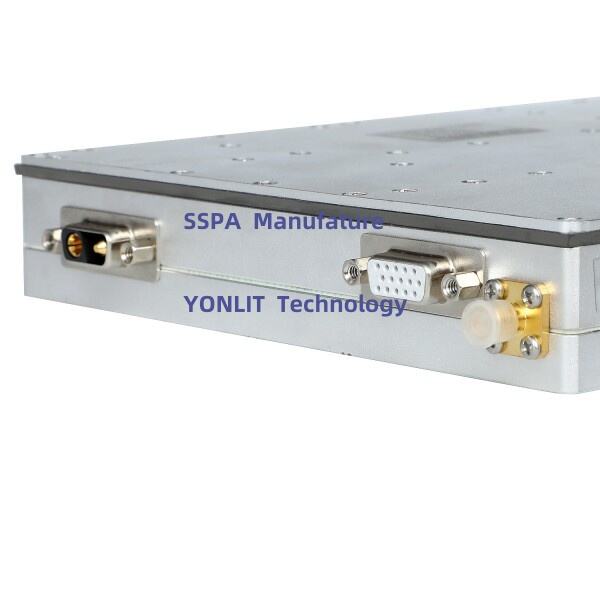
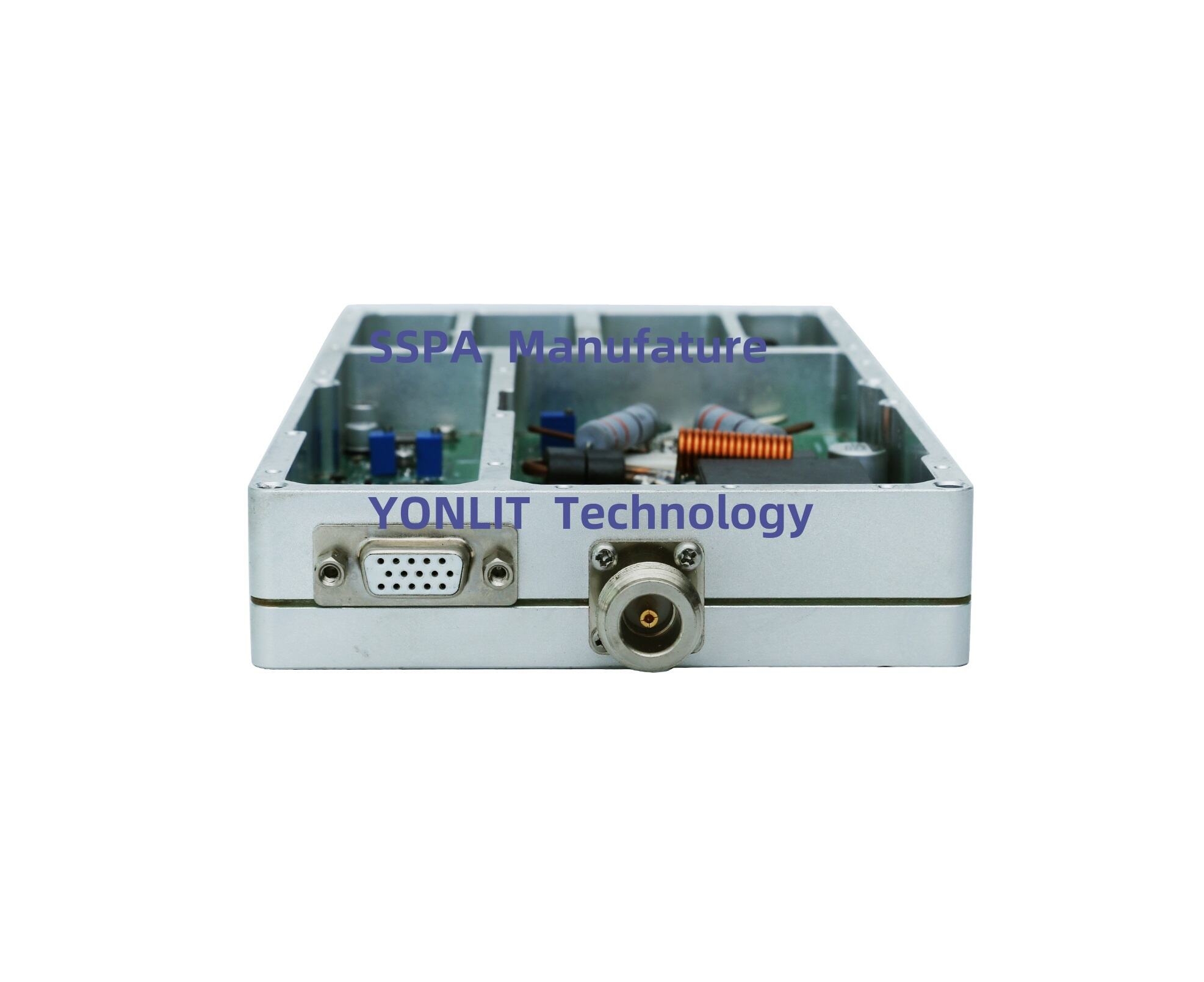
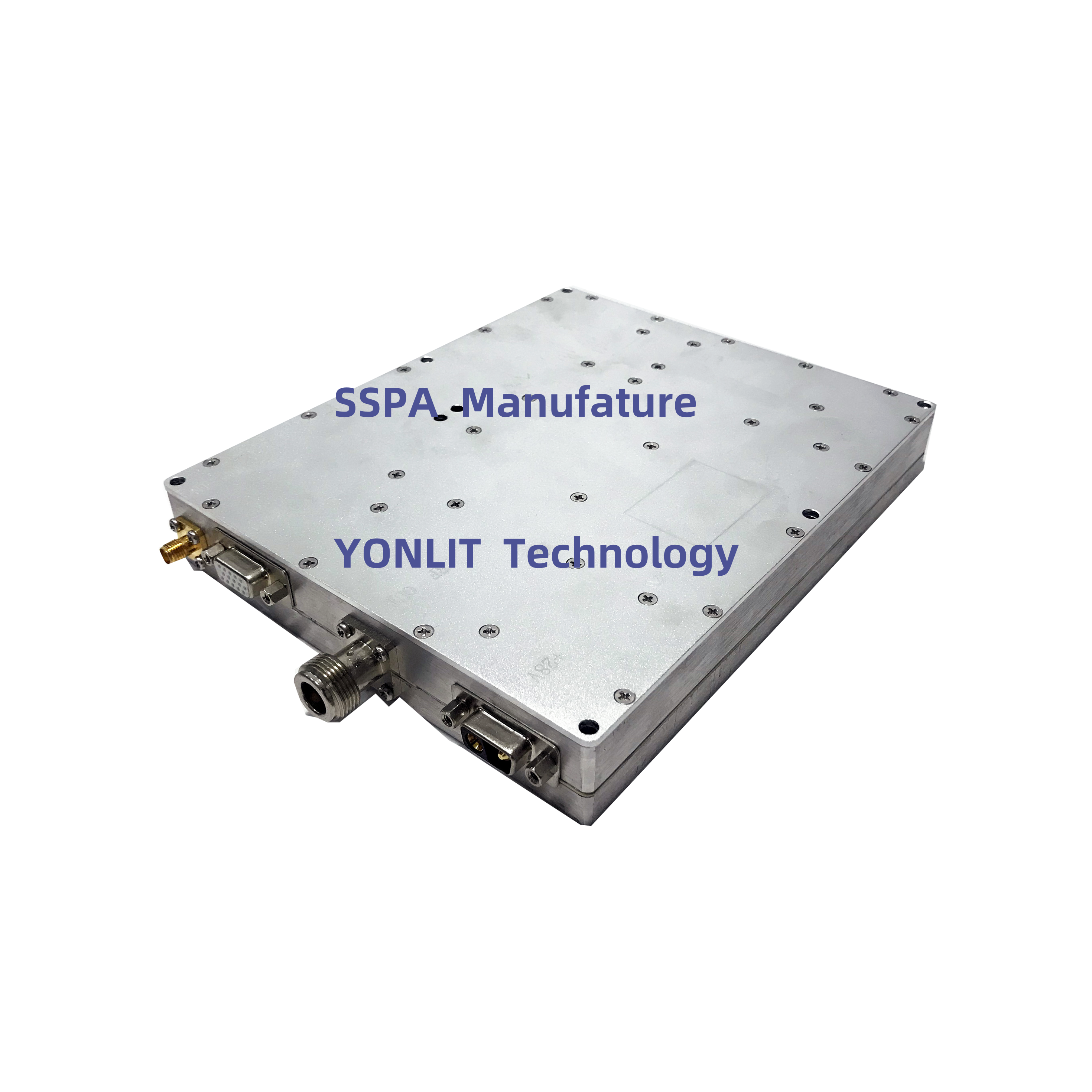
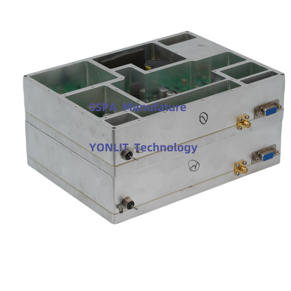
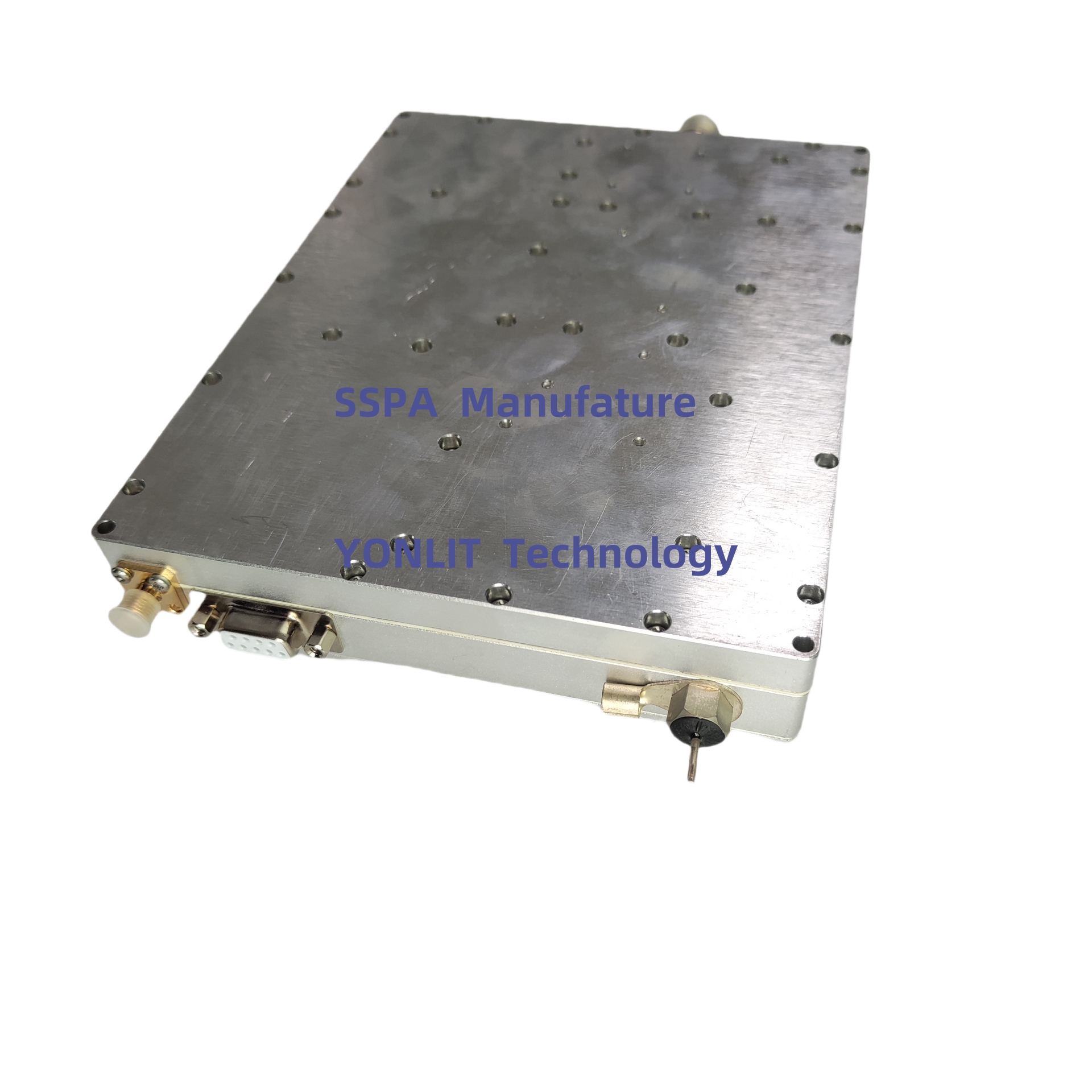
UAV navigation amplifiers play a pivotal role in enhancing the accuracy of drone navigation systems. They operate by amplifying signals from Global Navigation Satellite Systems (GNSS) and Inertial Measurement Units (IMUs), leading to improved data reliability. By focusing on filtering noise and stabilizing GPS signals, these amplifiers significantly reduce signal drift, which is essential for precise navigation. Moreover, they adeptly compensate for environmental factors such as interference and atmospheric conditions, ensuring stable drone operations. Their role in refining signal amplification and GPS stability is indispensable for optimal UAV performance across various applications, from precision agriculture to advanced surveillance.
High-quality navigation amplifiers considerably enhance the stability of autonomous drone flights. These devices provide real-time data corrections, which are crucial for maintaining accurate flight paths. According to studies, drones equipped with superior amplifiers can experience up to 30% less deviation in their flight paths compared to those without. This stability is critical in precise applications such as delivery services and aerial surveillance, where accuracy is paramount. With real-time corrections and improved stability, drones can perform complex tasks with a higher level of precision, bolstering their utility in both commercial and industrial sectors.
Precision in drone navigation is directly linked to the levels of autonomy that UAVs can achieve. The more precise the navigation data, the more effectively drones can make autonomous decisions in real-time. Research indicates that enhanced precision, especially at lower altitudes, significantly enables autonomous operations in urban areas, where navigating through complex environments is necessary. This precision-autonomy relationship is crucial for diverse applications, including agriculture, inspection, and mapping. As drones achieve higher autonomy through precise navigation, their roles in these sectors are expected to expand, allowing for more efficient and innovative solutions in field operations.
Multi-frequency GNSS receivers are essential for achieving centimeter-level accuracy in UAV navigation. These high-performance receivers minimize errors caused by atmospheric disturbances and multipath signals, enabling drones to navigate with precision in complex environments like urban canyons and dense forests. By adopting these advanced GNSS technologies, operational efficiency is significantly increased, as they reduce the need for corrective actions during flights, thus ensuring that UAVs maintain their course even in challenging conditions.
Inertial Measurement Units (IMUs) serve as the backbone of UAV navigation systems by providing critical positional data. These devices measure a drone’s acceleration and rotation, allowing for continuous tracking of its position in real-time. IMUs are particularly beneficial when GNSS signals are weak or unavailable, as they complement GNSS systems to maintain navigational accuracy. This capability is especially pivotal for applications that require high dynamics and rapid responsiveness, ensuring that drones can perform complex maneuvers with precision and reliability.
Anti-jamming technologies are key to maintaining navigation integrity in environments prone to interference. Techniques such as frequency hopping and the use of smart antennas are employed to mitigate the risks associated with jamming. These solutions ensure that UAV operations can proceed seamlessly in areas with high signal noise, such as conflict zones or bustling urban settings. The effectiveness of anti-jamming technologies can be measured through reduced signal loss and enhanced navigation performance, thereby safeguarding the UAV's mission-critical tasks from external disruptions.
Lidar-based localization techniques offer precise positioning, especially when GNSS signals are absent. By emitting laser pulses, Lidar generates detailed 3D maps, enhancing spatial awareness of the surroundings—a major advantage in complexes like dense urban areas. Research highlights that Lidar can increase location accuracy to within 5 centimeters, a metric crucial for navigating tight urban landscapes. The integration of Lidar with other sensors further maximizes its efficiency, providing UAVs with a robust solution for challenging scenarios where navigation precision is paramount.
Visual-inertial odometry represents an innovative method for enhancing navigational accuracy by merging visual data with motion data from IMUs. This integration allows drones to accurately determine their position through camera images combined with sensor data, which is a powerful technique in environments with limited lighting or heavy clutter. Studies suggest that this approach outperforms traditional navigation systems, particularly in challenging conditions. Implementing effective integration strategies enables UAVs to undertake tasks demanding precise localization, thereby expanding their operational capabilities in diverse fields.
Stepped rotation algorithms are integral to optimizing signal reception across dual or multiple frequency channels. These algorithms refine how UAVs process navigation data, which improves signal clarity and accuracy. Evidently, employing stepped rotation can enhance positional data accuracy by over 20%, marking a significant improvement. Such algorithms prove highly beneficial in dynamic environments where GNSS signals are either sporadic or unreliable, ensuring that UAVs maintain accurate navigation capabilities in varying conditions.
AI-driven technologies are poised to transform how drones navigate by adapting flight paths in real-time. These systems excel at swiftly processing environmental data to detect and maneuver around obstacles, significantly reducing collision risks. The integration of AI into drones can notably enhance mission success rates by dynamically adjusting routes based on changing conditions. Projections suggest that by 2025, drones powered by AI could surpass current models' performance by a factor of two, especially in complex environments where quick adaptation is critical.
Chip-scale quantum navigation is a promising field that offers unprecedented accuracy in positioning. By utilizing quantum principles, this technology measures minute changes in motion with exceptional sensitivity. Experts believe that as this technology matures, it will dramatically enhance UAV capabilities in GPS-denied scenarios, providing a reliable navigation alternative. With ongoing research and development, we might witness the commercial implementation of these systems within the next decade, revolutionizing the way UAVs operate when satellite-based navigation is not an option.
Multi-sensor fusion architectures gather and integrate data from various sensors, creating robust navigation systems for UAVs. By synthesizing data from cameras, LiDAR, IMUs, and GNSS, these systems achieve high levels of reliability, crucial for safe and efficient drone flight. The integration of multiple sensors enhances redundancy and fault tolerance, ensuring drones navigate accurately even in challenging conditions. Research indicates that multi-sensor systems can decrease navigation errors by 30% compared to relying on a single sensor, making them invaluable in complex operational settings.
UAV navigation amplifiers are devices that enhance the accuracy of drone navigation by amplifying signals from GNSS and IMUs, reducing noise and signal drift.
High-quality navigation amplifiers provide real-time data corrections that help maintain accurate flight paths, which is essential for precision applications like delivery services and aerial surveillance.
Precision in UAV navigation allows drones to make autonomous decisions in real-time, enhancing their effective operation in complex environments, especially at lower altitudes.
Technologies such as Lidar-based localization and visual-inertial odometry help enhance UAV navigation in scenarios where GNSS signals may be weak or absent.
 Hot News
2024-08-15
2024-08-15
2024-08-15


 EN
EN